Information about Mhamid Elghizlane village
The oasis of Mhamid Elghizlane
M’Hamid El Ghizlane Oasis – Gateway to the Moroccan désert
Overview of M’Hamid El Ghizlane Oasis
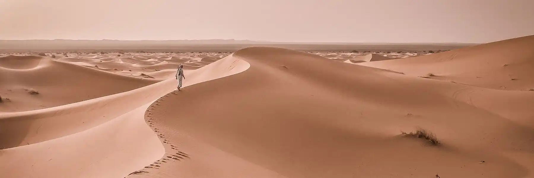
The M’Hamid El Ghizlane Oasis, located in the far south-east of Morocco, is widely known as the gateway to the Moroccan Sahara désert. It lies in the Zagora Province, within the Drâa-Tafilalet region, and represents the last village before the vast sand dunes of the Sahara, including the famous Erg Chegaga dunes.
Officially founded in 1932 during the French period, M’Hamid El Ghizlane has a much older history, deeply rooted in ancient trans-Saharan caravan routes, désert trade, and Saharan civilizations.
Geographic Location and Borders of M’Hamid El Ghizlane
The oasis covers an area of approximately 2,700 km², with a very low population density typical of désert regions.
Its natural borders are:
-
To the north: the Jbel Bani mountain range
-
To the east: the Tagounite Oasis
-
To the south: Tata Province
-
To the south-east: the Algerian border
At the heart of the oasis flows Oued Drâa, the longest river in Morocco and the lifeline of the region.
Oued Drâa – The Lifeblood of the désert
The Oued Drâa rises in the High Atlas Mountains and stretches over 1,200 km, making it the longest river in Morocco. It crosses the Drâa Valley’s palm groves before heading toward the Atlantic Ocean.
This river has enabled the development of a traditional oasis-based agricultural system, especially the cultivation of date palms, which remains essential to the local economy.
History of M’Hamid El Ghizlane
According to historian Jacques-Meunié, the ancient name of M’Hamid El Ghizlane was Targalate. In his book “The Saharan Morocco from its Origins to 1670”, he describes M’Hamid as an important and strategic city along historic caravan routes linking sub-Saharan Africa to northern Morocco.
Today, this rich past enhances the appeal of M’Hamid as a prime destination for Saharan cultural tourism.
A Palm Grove with Diverse Ethnic Origins
The palm grove of M’Hamid El Ghizlane is a true ethnic and linguistic crossroads, shaped by centuries of migration and cultural exchange.
Main Tribes of M’Hamid El Ghizlane
Amazigh (Berbers)
Descendants of the ancient Sanhaja tribes, the Amazigh people have been rooted in the region for centuries. Their traditions, language, and Berber architecture remain strongly preserved.
Arabs
The Arab population descends from the Bani Maâqil tribes, who arrived from Tunisia around 1225. The two main tribes are:
-
Arib
-
Beni M’Hamed
Draoua
The Draoua take their name from the Drâa Valley and are considered the earliest inhabitants of the region.
Chorfa and Mourabitines
-
The Chorfa claim lineage from the family of the Prophet Muhammad.
-
The Mourabitines descend from maraboutic and saintly families with a strong spiritual influence.
Population and Traditional Ksars
M’Hamid El Ghizlane has approximately 7,400 inhabitants, living across 14 ksars (fortified villages built in traditional Berber architecture).
The population is predominantly young, and the density does not exceed 1.75 inhabitants per km², preserving the area’s authenticity and tranquility.
Geography of M’Hamid El Ghizlane
Relief and Topographical Units
The geological structure of M’Hamid El Ghizlane results from the interaction between the African plate to the south and the Atlas mountain systems to the north. Three main topographical units can be identified:
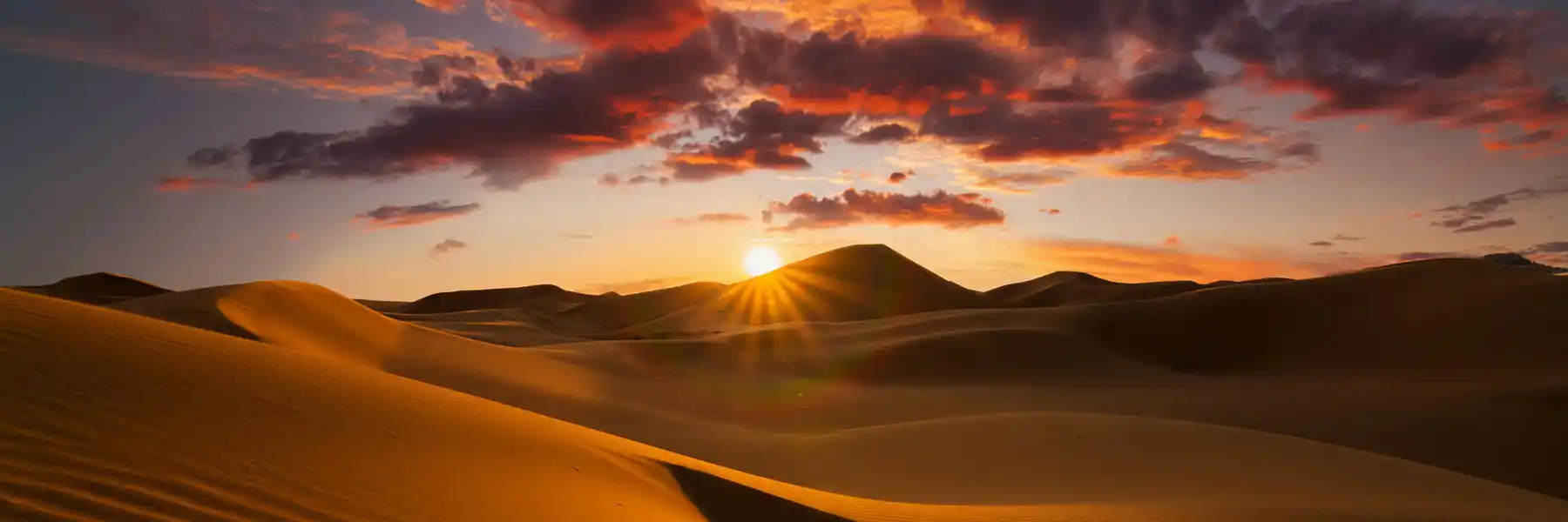
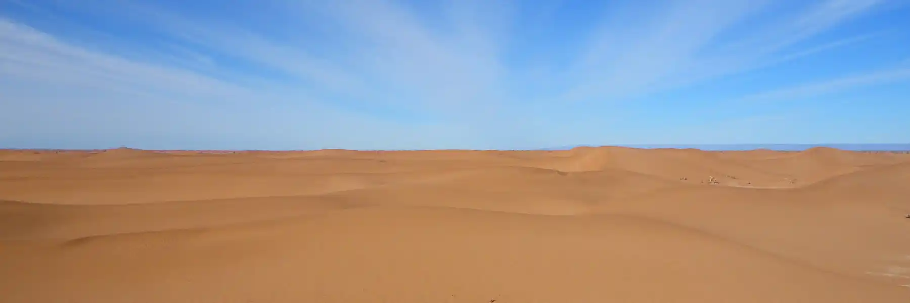
Covering about 60% of the region, this area is dominated by sandy landscapes and the spectacular dunes of Erg Chegaga and Erg Ezzahar, rising up to 300 meters.
Desert Plateaus
Rocky plateaus form the Hammada of the Drâa, extending southward toward Algeria. These vast, lunar landscapes are ideal for 4x4 désert excursions.
Mountainous Areas
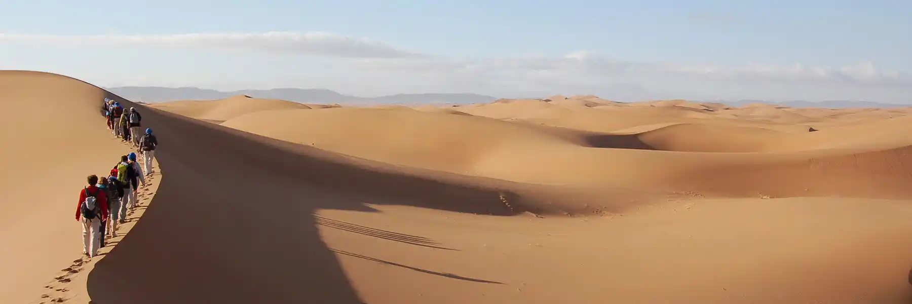
These mountainous zones provide excellent terrain for hiking, trekking, and adventure tours, attracting nature and outdoor enthusiasts.
Desert Climate of M’Hamid El Ghizlane
M’Hamid experiences a Saharan désert climate, characterized by extreme aridity and temperature variations.
Temperatures
-
In summer, temperatures can reach 45°C
-
In winter and early spring, nighttime temperatures may drop to -5°C
Rainfall
Rainfall is very scarce, averaging only 50–60 mm per year, and remains highly unpredictable.
Winds
The region is known for the hot, dry Chergui wind, especially during summer. These winds shape the dunes and constantly remodel the désert landscape.
Why Visit M’Hamid El Ghizlane?
M’Hamid El Ghizlane is an ideal destination for:
-
Desert tours in Morocco
-
Erg Chegaga excursions
-
Sahara désert camps and bivouacs
-
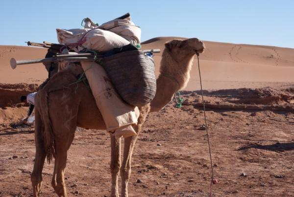
Camel trekking experiences
-
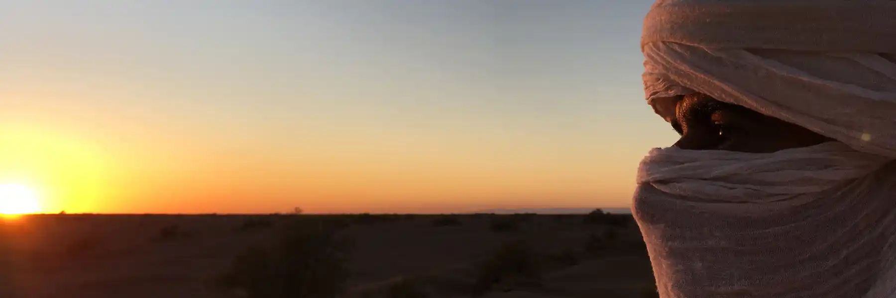
Cultural and authentic travel
-
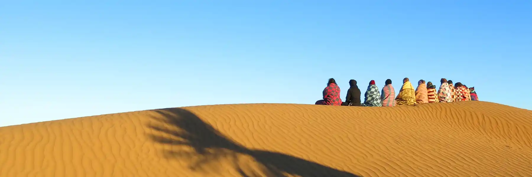
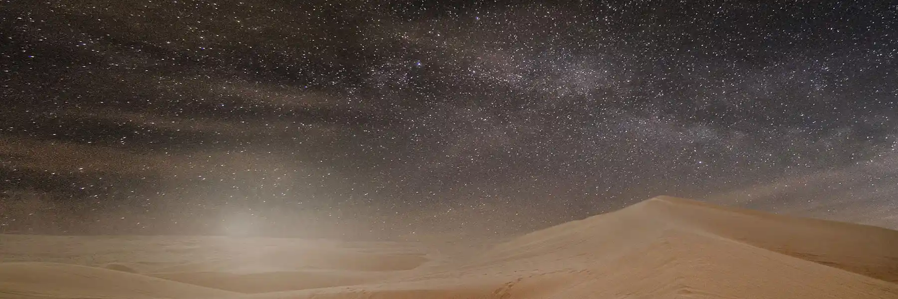
Stargazing and astrotourism
-
Peaceful escapes into the Sahara